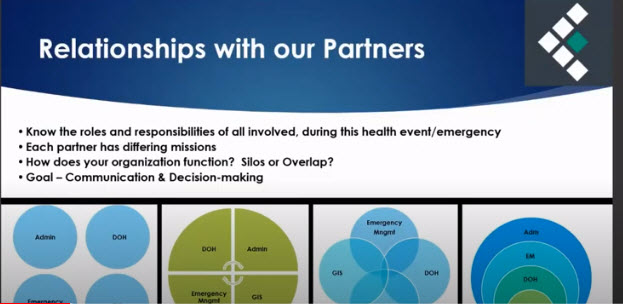
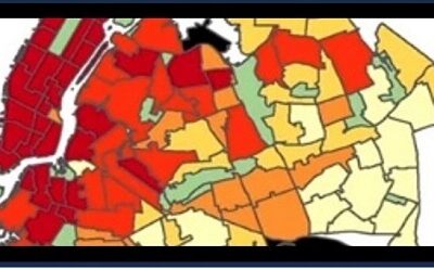
On August 19th the Regional Committee of the NYS GIS Association organized a webinar to highlight the use of GIS for COVID related operations. The webinar focused on the use of geocoded, precision location data to map and analyze COVID positive cases and contact tracing information to the address point and building footprint, and to aggregate location data to different geographies ranging from census blocks to ZIP Codes and other larger areas.
To access the video click the following link: https://www.nysgis.net/


