We are the
NYS GIS
Association


About Us

The NYS GIS Association represents the interests of the entire geospatial community within NY.
Geocon 2025
![]()
October 8th – 10th, in Lake Placid, NY. General registration coming soon!
Sponsor information is available now.
Calendar
![]()
Upcoming events and meetings within the New York geospatial community.
Membership Drive 2024
![]()
Is your NYS GIS Association Membership up to date?
NYS GIS Association News

Loss of Dr. Herrington, GIS Pioneer
The NYS GIS Association Mourns the Loss of Dr. Lee Herrington The NYS GIS Association mourns the loss of one of its pioneers, Dr. Lee Herrington. Dr. Herrington died on September 19th at the age of 88. His influence on the development of GIS in New York State cannot...

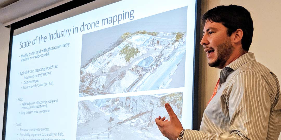
eSpatially – 10 Questions: Ken Stewart, NUAIR
The latest post from NYS GIS Association member Sam Wear, “10 Questions: Ken Stewart, NUAIR", posted October 13, 2021, is available on his website eSpatially New York. "NUAIR is a New York based nonprofit organization that provides expertise in unmanned aircraft...

Annual Meeting Minutes Available for Review
The draft of the minutes from the NYS GIS Association's Annual Meeting are now available for review! Take a moment to review them at: https://www.nysgis.net/activities/conferences/nys-gis-association-2021-annual-meeting/ They are available for review until Monday,...
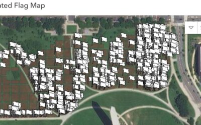
Map Remembering Those Lost to COVID
Esri Education Manager, Joseph Kerski, recently shared the following: Here is a memorial to honor those lost to COVID-19 that GIS is playing a big role in that my colleague Jeremiah Lindemann told me about. This week 650,000 flags were planted on the National Mall in...

2021 Fall Virtual Event & Annual Meeting Update!
Greetings NYS GIS Association Members, Thank you to all who have registered for the NYS GIS Association's Fall Virtual Event and Annual Meeting. We are looking forward to an exciting program! Please note that the NYS GIS Association and GISMO are collaborating on the...
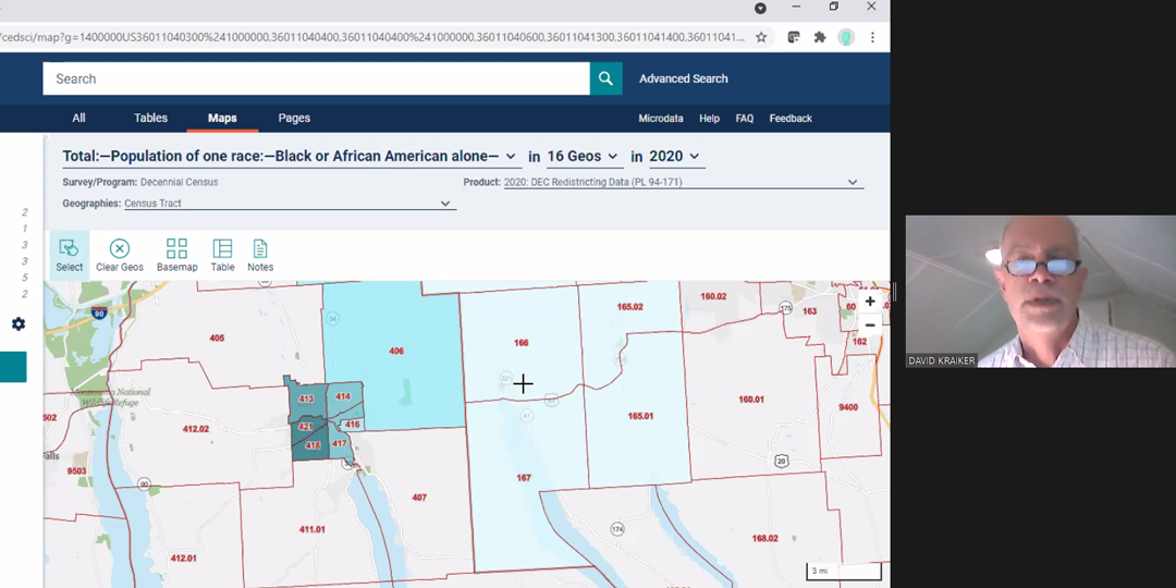
USGS 3DEP Standard DEMs now available via OpenTopography
USGS 3DEP Standard DEMs now available via OpenTopography | OpenTopography OpenTopography is now offering access to USGS 3D Elevation Program (3DEP) Standard Digital Elevation Models (DEMs) through their easy-to-use web-based interface with associated processing and...
Subscribe to Our Weekly News Summary
Join our mailing list to receive the latest news and updates from the NYS GIS Association.