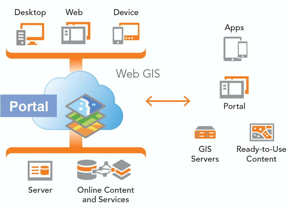
New York City government’s GIS platform, comprised of geodata, applications, software, processing capacity and accessible repositories, is also, in many ways, the foundation of GIS use by everyone else. NYC has only one geography and City government, thankfully, has made it its mission to build the critical spatial data that defines and describes our City.

GISMO, representing the entire NYC GIS community, has decided to weigh in on the City’s GIS platform in the hope that such an effort will make our City’s GIS use more effective for all. This link will take you to the GISMO “Guiding Principles and Policies for New York City’s Geospatial Architecture”. This document was compiled by GISMO President Alan Leidner based on input from GISMO members and from national GIS leaders. Please read it and provide us with your comments. We want this Principles Document to be regularly improved and renewed as innovative technologies and capabilities continually transform our profession.
GISMO is now working with the Hunter College Department of Geography to organize a Forum at which the recommendations made in this document can be discussed and debated. Expect to hear more about this event in the near future.
Read the full details here.


