Hello,
We have several exciting announcements about Orthoimagery and Elevation data below.
Expanded 2020 Orthoimagery
More of the 2020 NY Statewide Digital Orthoimagery Program orthos are available in more ways.
- The 2020 and Latest web services now include 15 counties – Clinton, Franklin, and St. Lawrence are now available to view and download. This is in addition to Allegany, Genesee, Jefferson, Lewis, Livingston, Monroe, Genesee, Nassau, Orleans, Oswego, Steuben Suffolk, and Wyoming which have been made available in the previous weeks.
REST Pages: https://orthos.its.ny.gov/arcgis/rest/services/wms/2020/MapServer
https://orthos.its.ny.gov/arcgis/rest/services/wms/Latest/MapServer
WMS links: https://orthos.its.ny.gov/arcgis/services/wms/2020/MapServer/WMSServer?
https://orthos.its.ny.gov/arcgis/services/wms/Latest/MapServer/WMSServer?
- The same group of 15 counties now are available for viewing and tile download in the Discover GIS Data NY web application. We have also made the ability to download municipality zips for the 2020 Orthoimagery.
In the coming weeks we expect to have New York City which will complete the 2020 Orthoimagery lot.
Updated Elevation Data
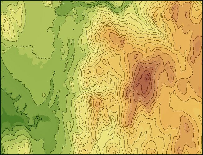
The 2019 NYSDOP LIDAR project covering all of Erie, Livingston and portions of Genesee County is now available for download through this application. We have also created an Image Service for this collection, included this project in the statewide mosaic high resolution DEM, and statewide hillshade service
- NYSGPO Erie, Genesee, Livingston 2019 DEM Image Service: https://elevation.its.ny.gov/arcgis/rest/services/NYSGPO_ErieGeneseeLivingston_1_meter/ImageServer
- Latest and Greatest DEM Mosaic Image Service: https://elevation.its.ny.gov/arcgis/rest/services/Latest_and_Greatest_DEM_Mosaic/ImageServer
- NYS Statewide Hillshade: https://elevation.its.ny.gov/arcgis/rest/services/NYS_Statewide_Hillshade/MapServer
Reminder about Issues Using FTP Links in Some Browsers
We would like to remind end users using the Discover GIS Data NY Application that all downloads (Orthoimagery, LIDAR, DEM) thru the application download directly from our FTP server. Recently, these links stopped working in several common web browsers. Google has deprecated support for ftp in Chrome, and we have noticed consistent issues when using Microsoft Edge. Using Internet Explorer consistently allows use of the ftp links for downloads. Firefox has worked for many people as well.
Please let me know if you have any questions.
Thank you,
Jeff Langella


