2024 Fall GeoSummit
2024 Geospatial Summit
NYS GIS Association Annual Meeting
Meeting Minutes
NYS GIS Association Annual Awards Presentations


 Lifetime Achievement Award


This award recognizes outstanding contributions to the profession

Lindi Quackenbush
SUNY ESF
Dr. Quackenbush has participated throughout her academic career in the NYS GIS Association
and helped to bring a generation of ESF grads into the practice and is now leading that anchor
institution as VP of Research. Lindi has mastered several GIS knowledge domains including
remote sensing and surveying.

Chuck Hathaway
NYS DOT
Chuck Hathaway is a surveyor and an early GIS adopter and a career member of the NYS DOT. His early work in
digitizing and indexing transportation survey and record plans documents and using maps to index and retrieve them
were a proof of concept that encouraged the cadre of DOT GIS practitioners when demos needed to be done from hard
drives. His predictive damage models were legend and also ahead of their time. He is a self proclaimed data hoarder. It
all went on the hard drive. He was also an early advocate of using real time data. When federal water gauge data
became available he circulated the how to to the rest of us working incident command. He has been a evangelist for
GIS throughout his career.
GIS Spatial Application Awards
Recognition of impressive and innovative accomplishments across the state.
Yuki Chen & Alyssa Kang – GIS Enhanced Stormwater Modeling Against Pluvial Flooding in Sunset Park, Brooklyn
Extreme pluviation events increasingly overwhelm municipal stormwater systems, necessitating the development of more
precise pluvial flooding models. (cont’d)
(cont’d) This study investigates the role of built environment elements, particularly buildings, in
contributing to delayed rainfall-runoff—a critical yet often overlooked component in enhancing the accuracy of these models.
The proposed workflow integrates building heights, Manning’s roughness coefficients for buildings and streets, and average
street slope as direct inputs into the Kerby Model. Building on NYC’s GIS base map, a parcel-based, block-by-block approach
is utilized to quantify the total street-level rainfall delay per meter. The development of a more nuanced pluvial flooding model
holds significant potential for improving risk communication, facilitating staggered evacuations and emergency response, and
guiding the prioritization of stormwater infrastructure retrofitting across neighborhoods. Applying this model to Sunset Park, an
economically disadvantaged coastal neighborhood in Brooklyn, New York City, revealed rainfall delays ranging from as little
as 1.5 to as much as 4.2 minutes. This information can be incorporated into flood prediction maps to guide future municipal
infrastructure intervention and target risk communication impacted residents.
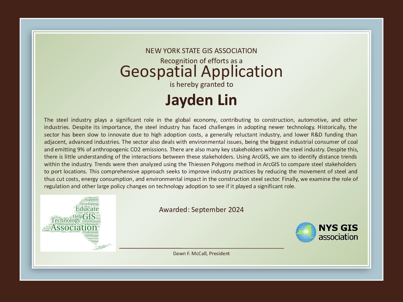
Jayden Lin – Analysis of Technological Adoption with Applications to the Steel Industry
The steel industry plays a significant role in the global economy, contributing to construction, automotive, and other
industries. (cont’d)
(cont’d) Despite its importance, the steel industry has faced challenges in adopting newer technology. Historically, the sector has been slow to innovate due to high adoption costs, a generally reluctant industry, and lower R&D funding than adjacent, advanced industries. The sector also deals with environmental issues, being the biggest industrial consumer of coal and emitting 9% of anthropogenic CO2 emissions. There are also many key stakeholders within the steel industry. Despite this, there is little understanding of the interactions between these stakeholders. Using ArcGIS, we aim to identify distance trends within the industry. Trends were then analyzed using the Thiessen Polygons method in ArcGIS to compare steel stakeholders to port locations. This comprehensive approach seeks to improve industry practices by reducing the movement of steel and thus cut costs, energy consumption, and environmental impact in the construction steel sector. Finally, we examine the role of regulation and other large policy changes on technology adoption to see if it played a significant role.
Individual Contribution to the Profession Award
This award recognizes outstanding contributions to the profession over the past year.

Ross Baldwin
Town of Southampton
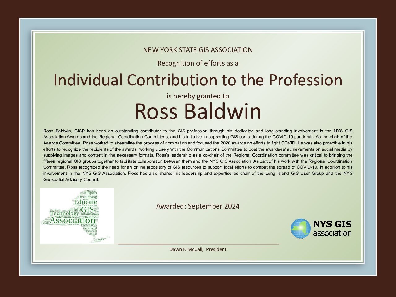
Ross Baldwin, GISP has been an outstanding contributor to the GIS profession through his dedicated and long-standing involvement in the NYS GIS Association Awards and the Regional Coordination Committees, and his initiative in supporting GIS users during the COVID-19 pandemic. As the chair of the Awards Committee, Ross worked to streamline the process of nomination and focused the 2020 awards on efforts to fight COVID. He was also proactive in his efforts to recognize the recipients of the awards, working closely with the Communications Committee to post the awardees’ achievements on social media by supplying images and content in the necessary formats. Ross’s leadership as a co-chair of the Regional Coordination committee was critical to bringing the fifteen regional GIS groups together to facilitate collaboration between them and the NYS GIS Association. As part of his work with the Regional Coordination Committee, Ross recognized the need for an online repository of GIS resources to support local efforts to combat the spread of COVID-19. In addition to his involvement in the NYS GIS Association, Ross has also shared his leadership and expertise as chair of the Long Island GIS User Group and the NYS Geospatial Advisory Council.
